thunderw21
I'll Lock Up
- Messages
- 4,044
- Location
- Iowa
I thought some of you might be interested in my explorations of a nearby state park. With the coming summer I'll be able to do some hiking (both on and off the extensive trails) in Ledges State Park, located four miles south of my hometown of Boone, Iowa. I'll be posting pictures and stories of my hikes on here throughout the summer, so if you're into scenery, hiking or the great outdoors definitely watch this thread.
What is Ledges State Park?
Located in the middle of Iowa farmland is a canyon. Small compared to most canyons found throughout the world, "the Ledges", as the locals call it, offers a scenic escape from the bleak and boring corn and soy bean fields.
From Wikipedia:
Background
The area was designated one of the first of Iowa's state parks in 1924, and is today one of its most visited parks.
The lowland areas of the park are regularly flooded by the Des Moines River. In the 1970s, the state created a dam to form Saylorville Lake on the Des Moines River. This action has resulted in repeated flooding of low-lying areas of the park for decades. A group called The Iowa Citizens to Save Ledges State Park was organized in 1972 in protest of the proposed Saylorville Dam. Its primary objective was to alleviate and/or minimize the harmful effects on Ledges State Park by the Saylorville Lake Project of the U.S. Army Corps of Engineers. There were numerous conservation groups affiliated with the group, including the Ames Reservoir Environmental Study, the Iowa Conservation Commission, and the Iowa Wildlife Society.
The repeated flooding has radically changed the appearance of the lower Ledges--the timbered areas have been greatly reduced, are often covered with silt and, in general, look devastated. This is quite a change from the time when Farwell Brown and his fellow Boy Scouts camped in the Ledges in the 1920s among the lush growth in the lower Ledges. Camping and picnicking in the lower Ledges were popular recreations until the frequent floods made that area of the park less desirable. Many of the picnic areas and picnic houses in the park's flood plain have been decommissioned in the past decade. Annual flooding has made maintenance of the buildings cost prohibitive and seemingly pointless.
The park includes numerous stone buildings and bridges constructed in the 1930s by the Civilian Conservation Corps. Also included in the facilities are numerous campsites, picnic tables, and stone shelters, many of which have been destroyed in three decades of regular flooding.
There is a flood pole located in the lowlands of the park which has recorded the various flood levels over the years.
Geology
The sandstone of the cliffs was the remnant of the prehistoric sea that covered the Midwest approximately 300 million years ago. The cliffs themselves are the result of recent glaciation during the last ice age approximately 13,000 years ago, when meltwater carved quickly down through the rock.
en.wikipedia.org/wiki/Ledges_State_Park
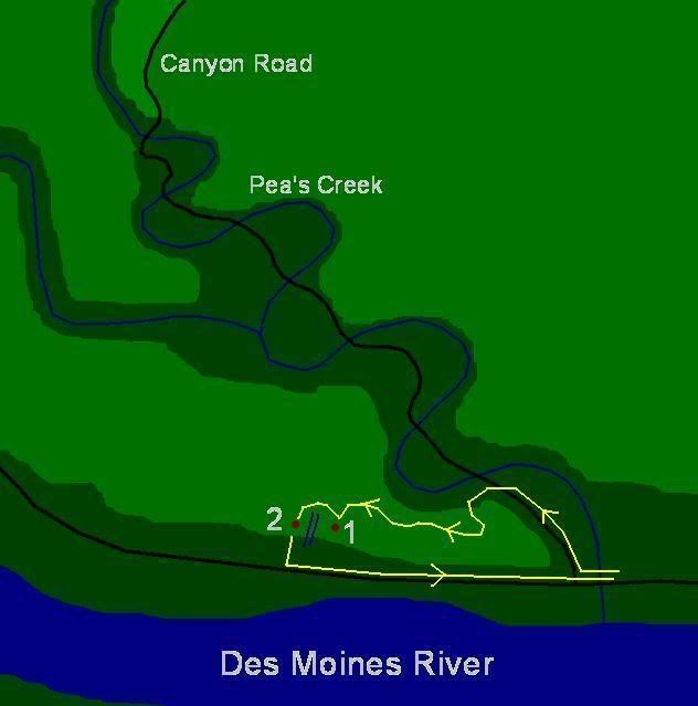
Obligatory MS Paint map:
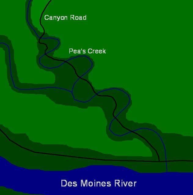
Lower elevation is dark green, higher is light green. Pea's Creek Canyon cuts deep into the otherwise flat Iowa landscape. The canyon road is a one-way road traveling down the canyon towards the Des Moines River where it connects with a rural highway that goes back up to the top the hill behind the canyon.
The following exploration was made last summer. I did not venture down into the canyon but rather stayed on a couple of the trails along the top of the canyon and in the hills surrounding the canyon. Enjoy.
------------------------------------------------------
...
What is Ledges State Park?
Located in the middle of Iowa farmland is a canyon. Small compared to most canyons found throughout the world, "the Ledges", as the locals call it, offers a scenic escape from the bleak and boring corn and soy bean fields.
From Wikipedia:
Background
The area was designated one of the first of Iowa's state parks in 1924, and is today one of its most visited parks.
The lowland areas of the park are regularly flooded by the Des Moines River. In the 1970s, the state created a dam to form Saylorville Lake on the Des Moines River. This action has resulted in repeated flooding of low-lying areas of the park for decades. A group called The Iowa Citizens to Save Ledges State Park was organized in 1972 in protest of the proposed Saylorville Dam. Its primary objective was to alleviate and/or minimize the harmful effects on Ledges State Park by the Saylorville Lake Project of the U.S. Army Corps of Engineers. There were numerous conservation groups affiliated with the group, including the Ames Reservoir Environmental Study, the Iowa Conservation Commission, and the Iowa Wildlife Society.
The repeated flooding has radically changed the appearance of the lower Ledges--the timbered areas have been greatly reduced, are often covered with silt and, in general, look devastated. This is quite a change from the time when Farwell Brown and his fellow Boy Scouts camped in the Ledges in the 1920s among the lush growth in the lower Ledges. Camping and picnicking in the lower Ledges were popular recreations until the frequent floods made that area of the park less desirable. Many of the picnic areas and picnic houses in the park's flood plain have been decommissioned in the past decade. Annual flooding has made maintenance of the buildings cost prohibitive and seemingly pointless.
The park includes numerous stone buildings and bridges constructed in the 1930s by the Civilian Conservation Corps. Also included in the facilities are numerous campsites, picnic tables, and stone shelters, many of which have been destroyed in three decades of regular flooding.
There is a flood pole located in the lowlands of the park which has recorded the various flood levels over the years.
Geology
The sandstone of the cliffs was the remnant of the prehistoric sea that covered the Midwest approximately 300 million years ago. The cliffs themselves are the result of recent glaciation during the last ice age approximately 13,000 years ago, when meltwater carved quickly down through the rock.
en.wikipedia.org/wiki/Ledges_State_Park
Obligatory MS Paint map:

Lower elevation is dark green, higher is light green. Pea's Creek Canyon cuts deep into the otherwise flat Iowa landscape. The canyon road is a one-way road traveling down the canyon towards the Des Moines River where it connects with a rural highway that goes back up to the top the hill behind the canyon.
The following exploration was made last summer. I did not venture down into the canyon but rather stayed on a couple of the trails along the top of the canyon and in the hills surrounding the canyon. Enjoy.
------------------------------------------------------
Thursday, May 31, 2007
Last Wednesday I hiked Ledges State Park and took some pics. So, this week I'll be your guide to part of Ledges State Park. Shall we?
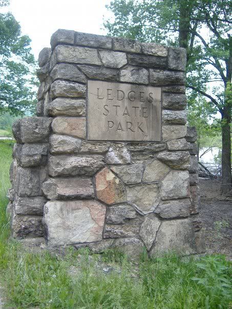
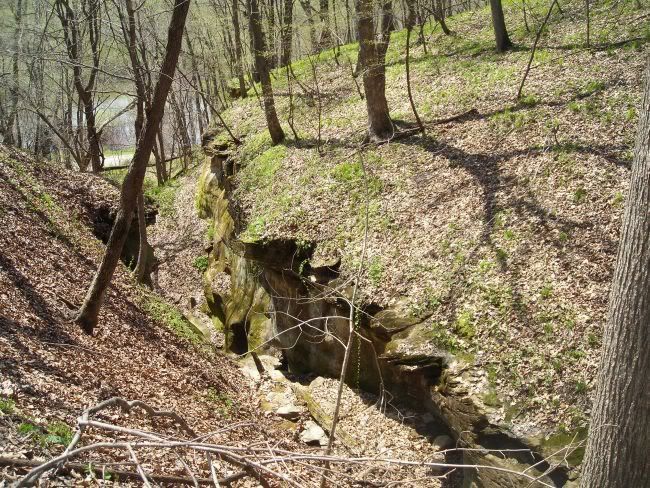
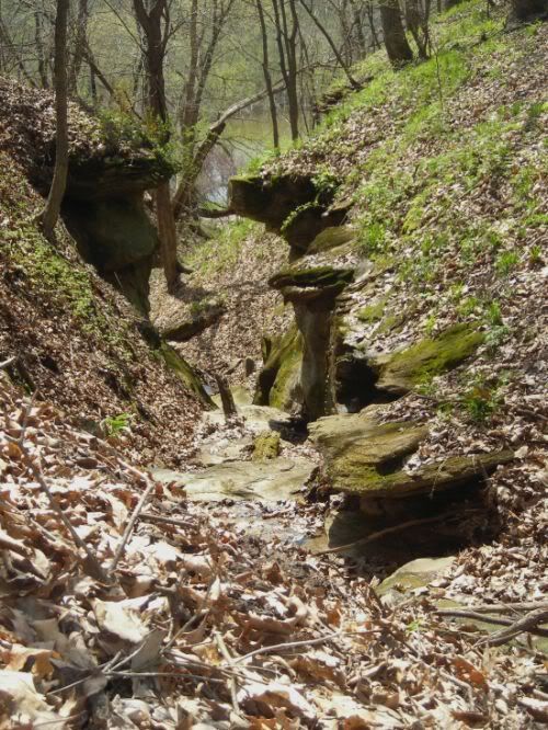
The first thing you must know about Ledges State Park or as locals call it, the "Ledges" is a canyon in the middle of Iowa cornfields. It is surrounded by dense forest and hills, streams and creeks snake through the landscape and beautiful views can be had if you know where to go to find them. Ledges is not Rocky Mountain National Park but in the middle of Iowa it sometimes seems like it.
Last Wednesday I didn't venture down into the canyon for a very long time but mostly stayed up on top, among the forest and steep hills. I was out for much of the day and carried food, water, a first aid kit, a poncho, extra socks (if my others got wet), and other useful items in an old army surplus bag. I also carried a Cold Steel flip-out knife with a 4 inch blade not only for self defense but for any other uses that I may find. You never know what kind of crazies might be lurking out there (just look at me).
I started the day off by hiking across a rather large open prairie similar to what much of Iowa looked like before farmers moved into the area. A tall and gently sloping mound in the middle of the prairie blocks the view of the trails I took that day.
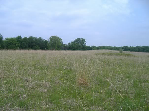
The view from the prairie. A dense forest envelops the field, shutting out all evidence of human development.
The trail I took is surrounded by thick trees, some fallen against others, eerily creaking in the gentle breeze that blew that day. As I started down the trail I went from warm sunlight to cool darkness. The forest closes in around the hiker when he enters it and the silence he enters is the kind that makes one nervous and feel alone. This feeling of being alone can be healthy and scary at the same time; it allows the hiker to focus on the beauty around him and forget life's troubles but it also reminds him of the fragility of life and his seemingly unimportance in the universe. The silence is eery to anyone who is use to the ruckus of society and a primal fear rises up, a fear of being too far away from people and too alone. Being in a forest like that is so lonely that it feels as if you are being watched and can be frightening. At times it was for me. I often found myself stopped and looking over my shoulder not to gaze at the beauty around me but to make such that suspiscious feeling of being watched wasn't true.
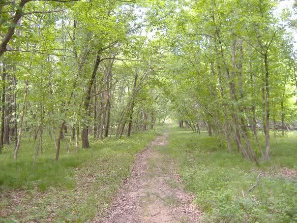
The beginning of the trail.
A short way down the trail I walked next to a fence. Yet it was not a fence, it was a pen roughly measuring 75x50 yards in size. It was not all that old but had been in the forest long enough to have trees fall on it and to be somewhat broken down. Curiosity got the best of me and I walked around the entire pen, constantly gazing inside to see if anything was still in there. What was this meant to keep in? Or keep out for that matter? The door was still locked though one could easily climb inside where a fallen tree pulled down the fence.
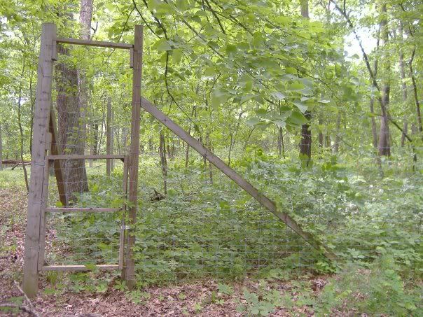
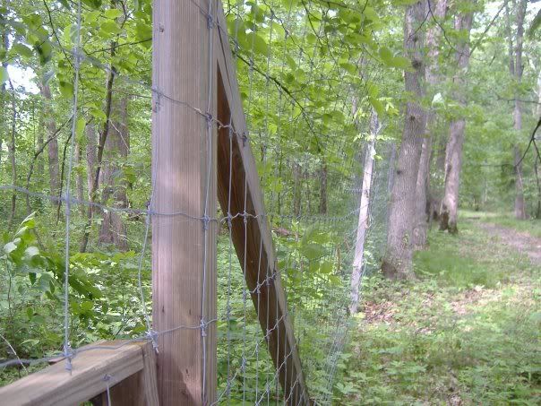
Strange...
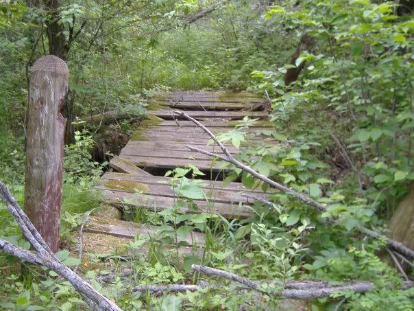
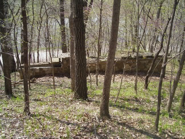
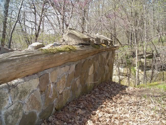
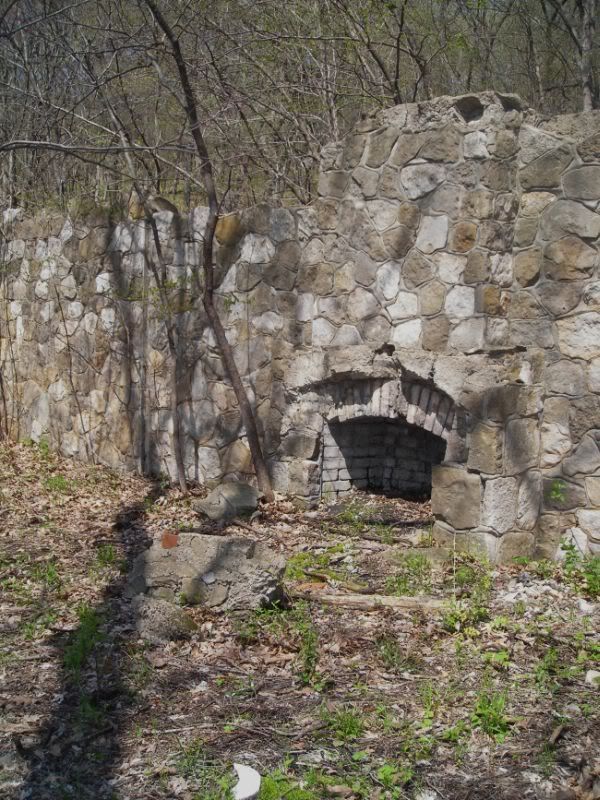
A bit farther I found another sign of humanity, though this one was much smaller and out of the way compared to the mystery pen.
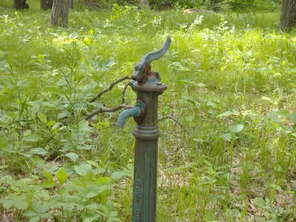
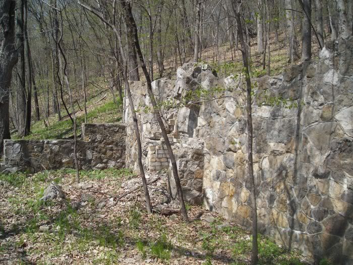
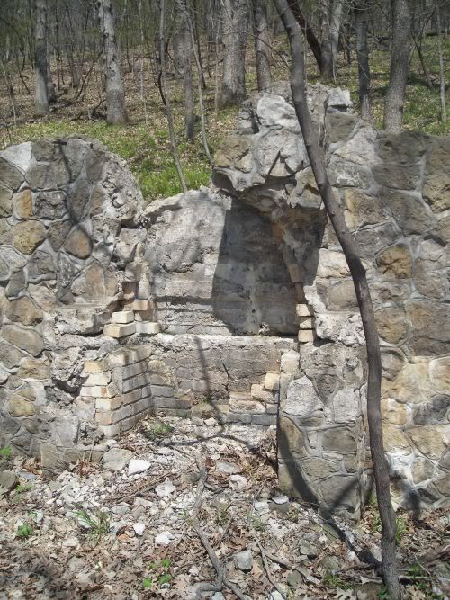
These human-made pieces are mysterious, sort of like random pieces and ruins left by collapsed civilizations. They are neat views into a world rarely seen by human eyes: humans engulfed by and at the mercy of nature as opposed to humans controlling nature. An unsettling thought.
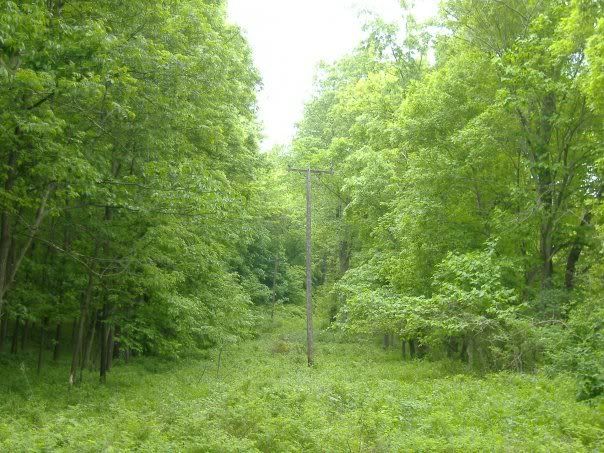
A road use to run through here. Nature won out.
By this time the trail had become more rugged and at times difficult to follow. Plants reach out over the path and fallen trees block the route. Poison ivy becomes a problem (remember: leaves of three, let it be; leaves of four, eat some more) and the chances of becoming food for ticks is constantly on my mind. The trail is long and winding as it travels downhill, making a short distance as the crow flies laboriously long.
Suddenly the thick grass and weeds next to me shake and something shoots away. It silently and quickly moved down a ravine, up the other side and into a hole. I searched to find the creature after reviving from a heart attack.
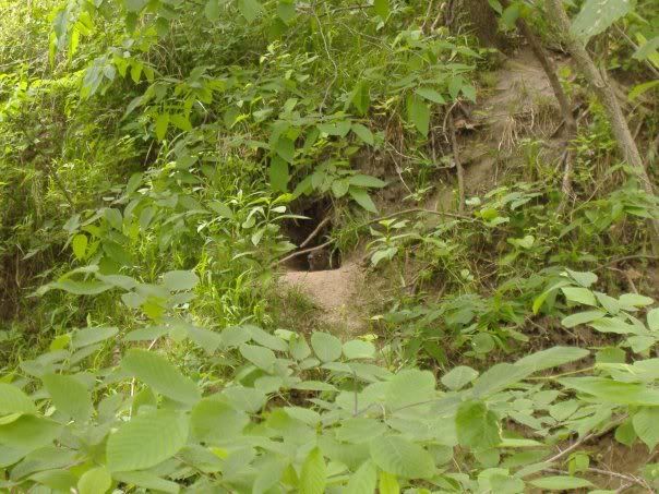
A groundhog. Not an unusual creature but seen rarely enough to stare at for a few minutes. He was just as interested in me as I was in him. We looked at each other until he darted farther into his hole.
He wasn't he only animal life I found. I tracked three deer for a short time, their white tails appearing each time they ran away.
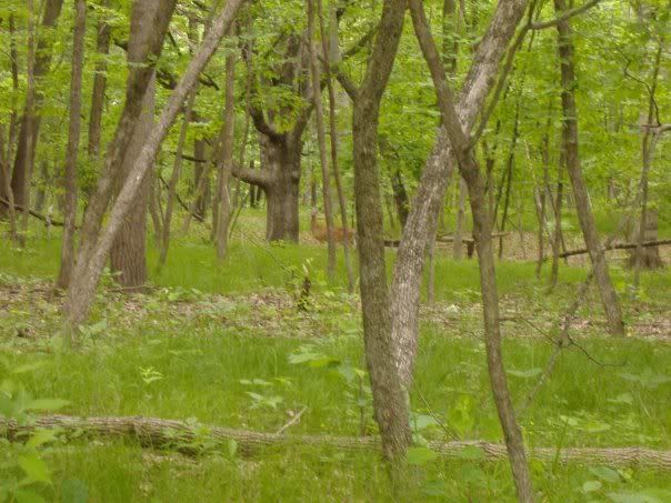
Long-legged overgrown rats, as I like to call 'em.
...
